 Zakynthos Informer Zakynthos Informer

Related Articles


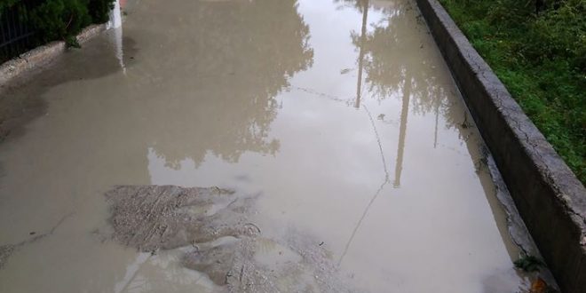
“Dido” is approaching our little Island which is moving southwest.
The main characteristic of the storm named “Dido” will be rain and thunderstorms, as well as strong winds during the night.
Locally, they are expected to be strong.
The weather station has already issued an emergency report for dangerous weather events. It also and warns as of tonight Dido will show his “ugly” face.
Zakynthos and the rest of the islands are to be affected initially, in the early hours of Tuesday followed by the Peloponnese, Epirus, western Sterea and Crete.
Gradually, extreme events will reach the rest of Greece.
Tuesday will be mostly cloudy with a couple of showers and heavy thunderstorms.